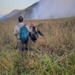
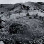
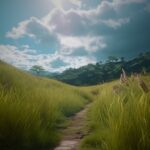
Based on Google Maps' satellite imagery and my reconnaissance mission, I need to be prepared for the following challenges:
- Cluster of Tall trees could block my view of the surrounding landscapes and landmarks, which presents a significant challenge for navigation. To address this problem, I had to use GPS technology such as a dedicated GPS device or a smartphone GPS app.
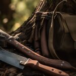
- Undergrowth may obstruct my movement forward. To overcome this challenge, I might need to resort to bushwhacking using a machete.
- Water Source may be scarce especially in higher elevation. The only water source I found was a stream before arriving at the end of the trail.
The 10 Essentials
- Backpack: Two backpacks. One for me and one for my companion.
- Clothing: Long and moisture-wicking upper and lower garments.
- Footwear: Ordinary hiking shoes
- Water: 10 liters of water . This was calculated based on the expected duration of the expedition, energy-consuming bushwhacking and other unforeseen circumstances. This ensured we wouldn't find ourselves dehydrated and stranded in the unforgiving terrain.
- Food: 2 kilos rice and canned goods
- Navigation tools: GPS app
- Communication tools: Cellphone, whistle and headlamp
- Light source: Headlamp and lighter to start a fire
- First aid: The usual first aid kit
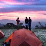
- Shelter: Two tents. One for me and one for my companion.
